Type of cave
Abysses and shafts
57 abysses and vertical shafts, ranked by how far they drop.
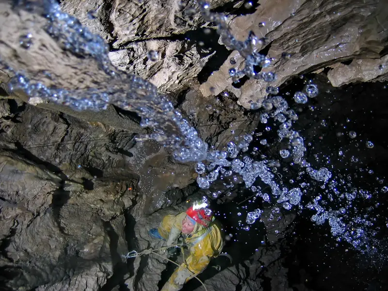 2,199 mKrubera Cave
 Georgia
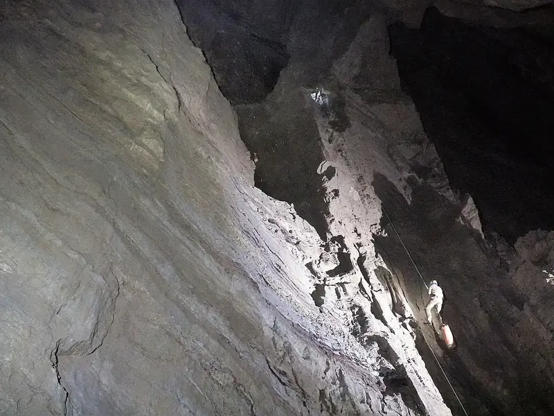 2,212 mVeryovkina CaveGeorgia
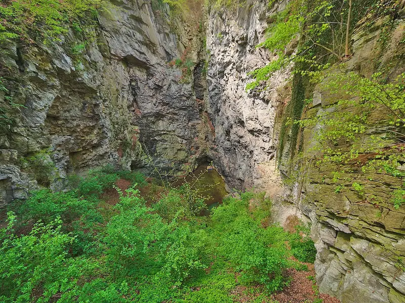 520 mHranice Abyss
 Czechia
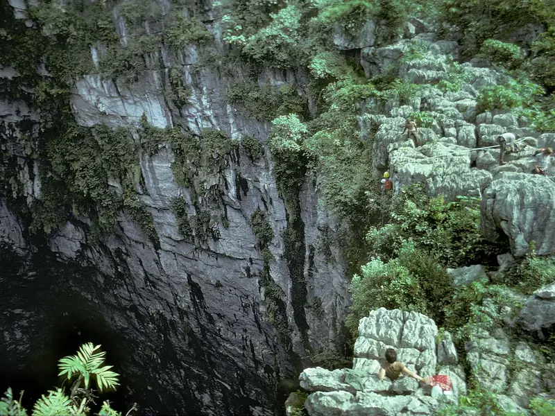 Cave of Swallows
 Mexico
 84 mDrachenhauchloch
 Namibia
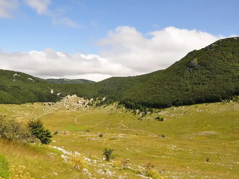 Lukina jama–Trojama
 Croatia3.7 km
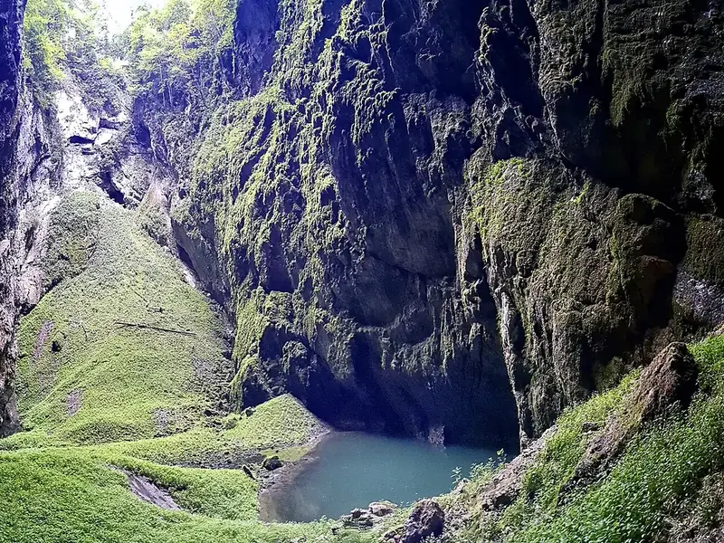 Macocha GorgeCzechia
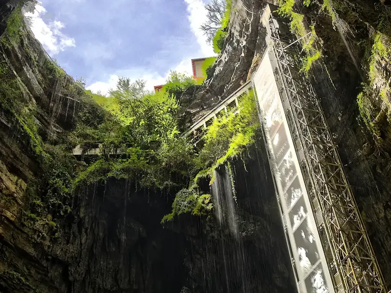 Padirac Cave
 France
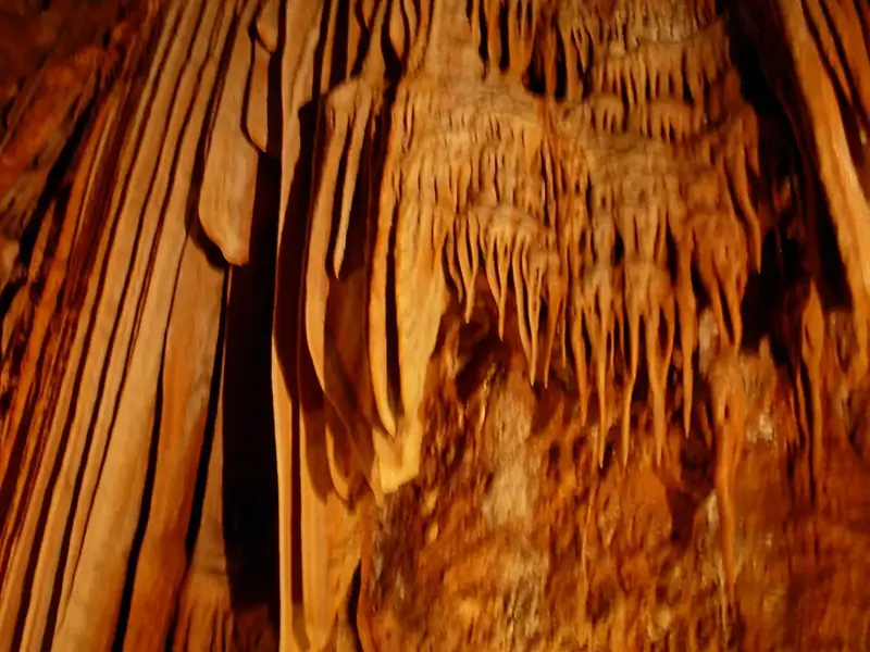 132 mBaredine CaveCroatia0.1 km
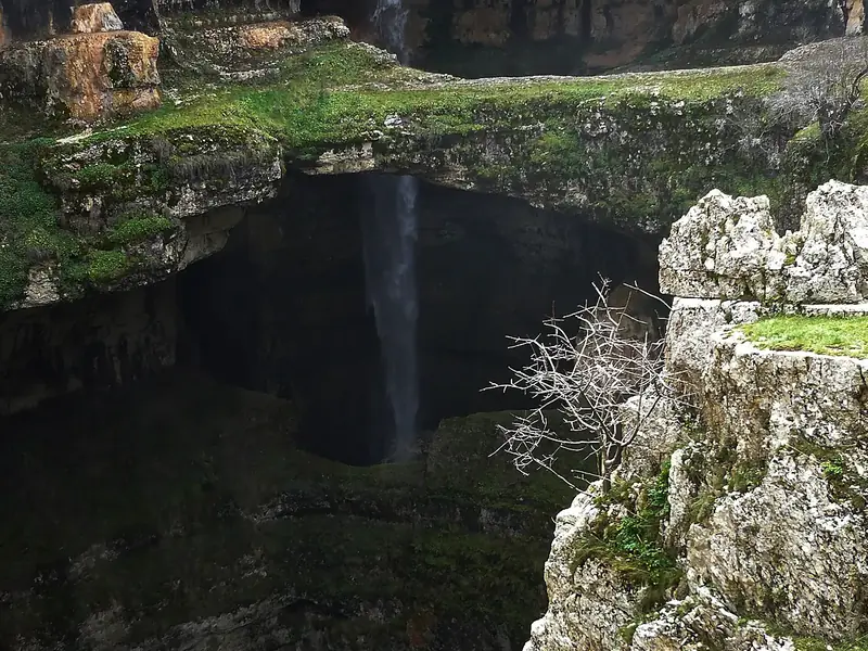 Baatara gorge waterfall
 Lebanon
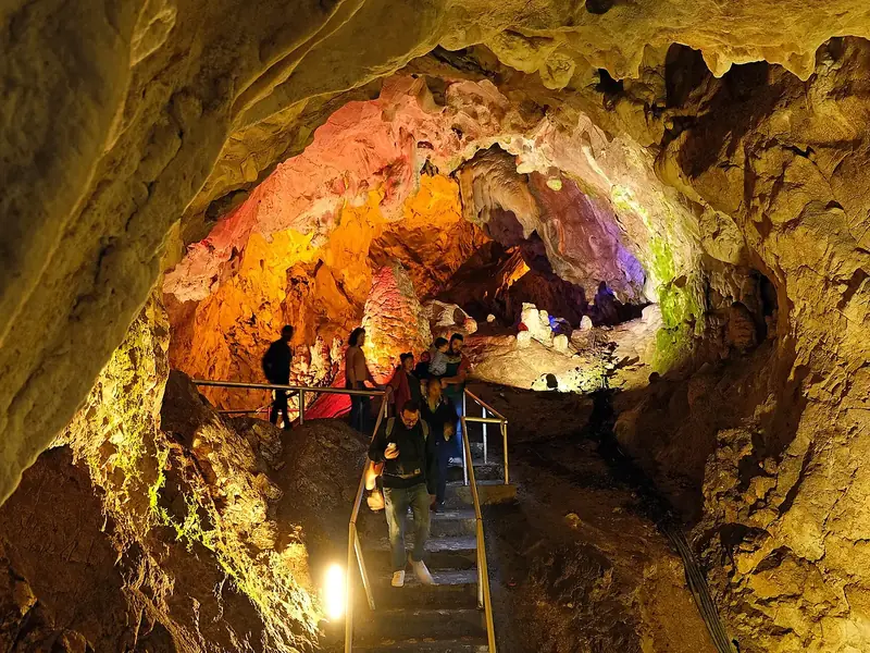 230 mVrelo Cave
 North Macedonia
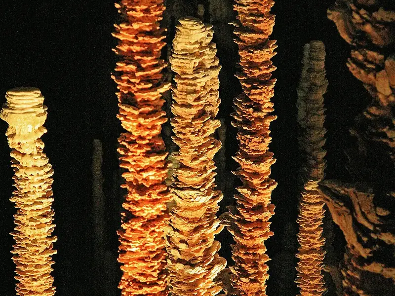 Aven ArmandFrance
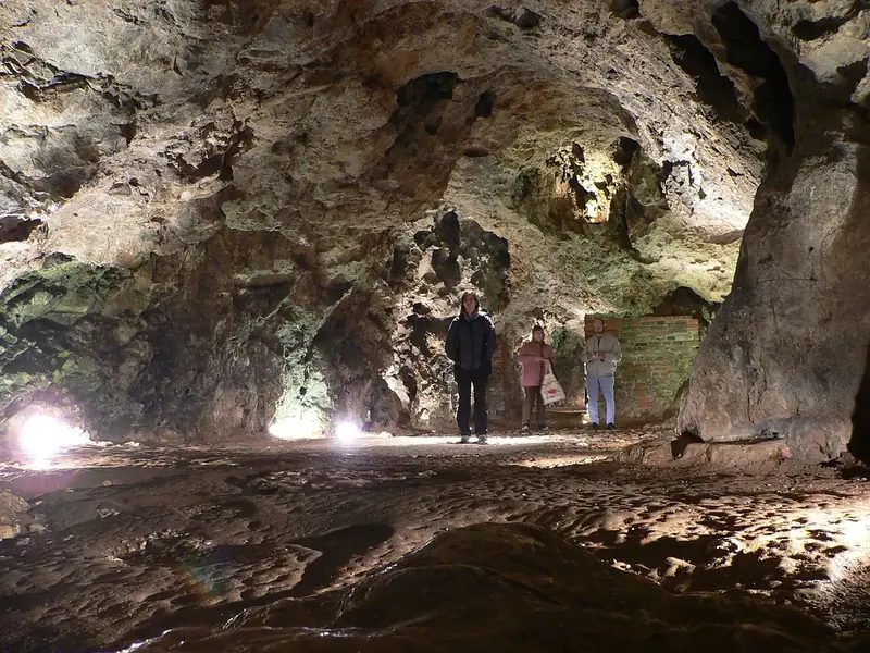 Smocza Jama
 Poland
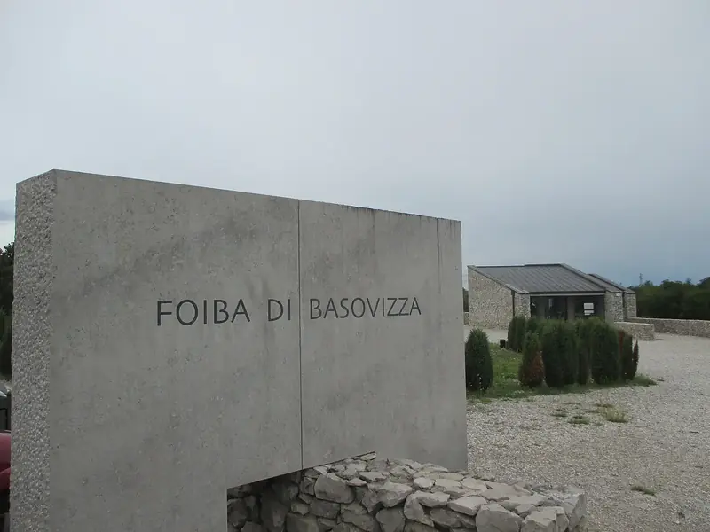 228 mFoiba of Basovizza
 Italy
Italy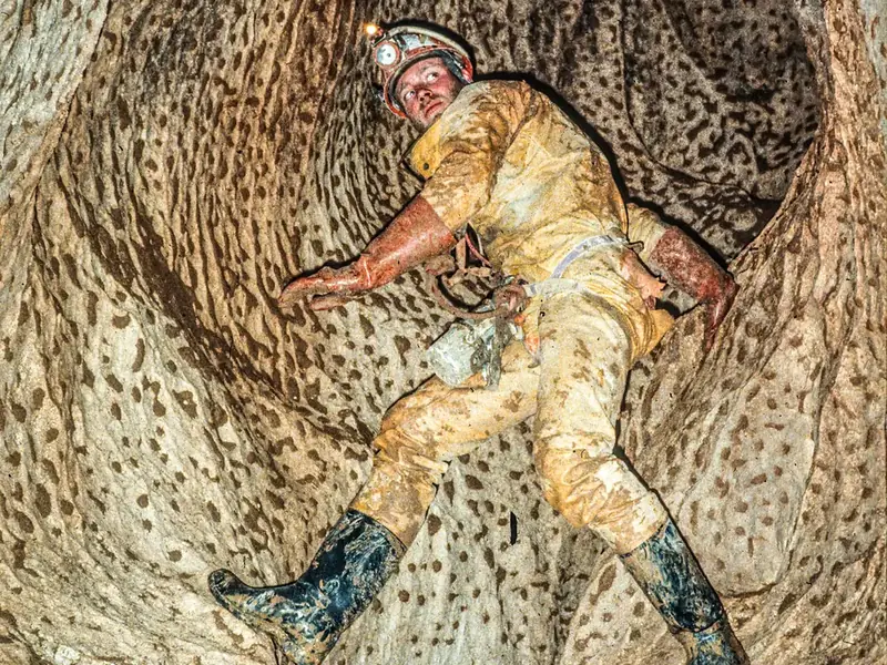 Leopard Chasm
 Algeria
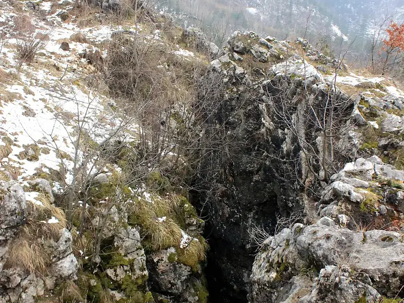 Kazani pit killings
 Bosnia and Herzegovina
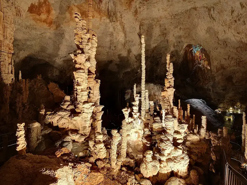 Aven d'OrgnacFrance
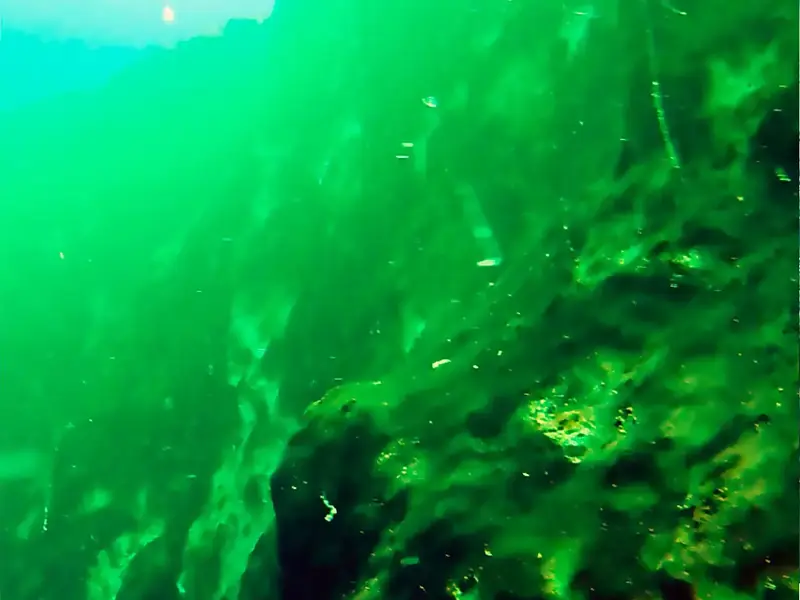 420 mTaam ja’ Blue HoleMexico
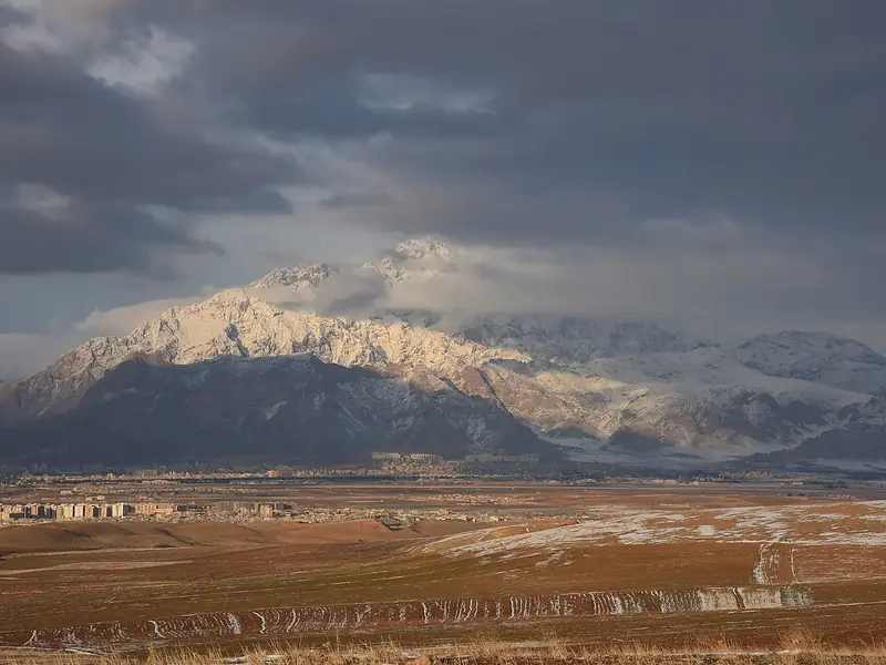 751 mParaw Cave
 Iran1.4 km
 1,830 mSarma caveGeorgia
 Gouffre Lépineux
 Spain
Spain Gouffre BergerFrance
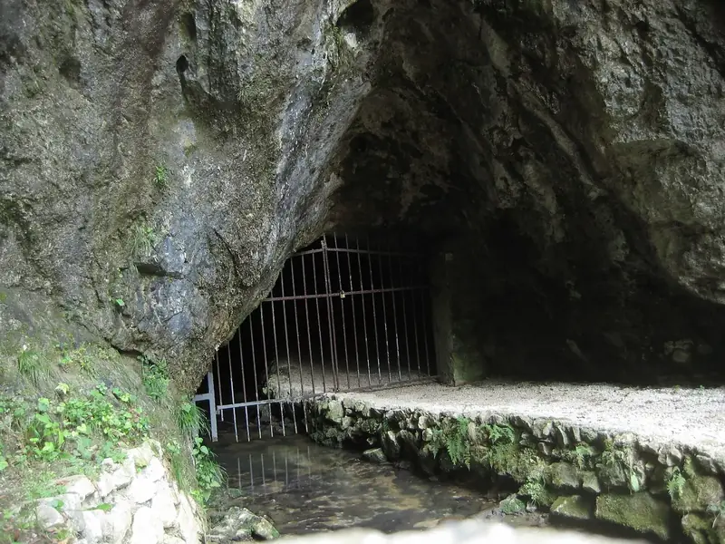 Hell Cave
 Slovenia
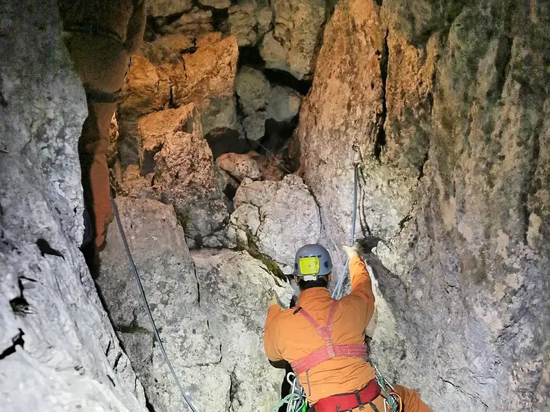 Riesending cave
 Germany20 km
 Aïn TaïbaAlgeria
 Sima de los HuesosSpainWorld Heritage
 Gouffre Jean-BernardFrance
 Abismo Guy Collet
 Brazil
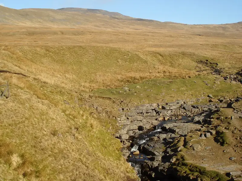 Gaping Gill
 United Kingdom
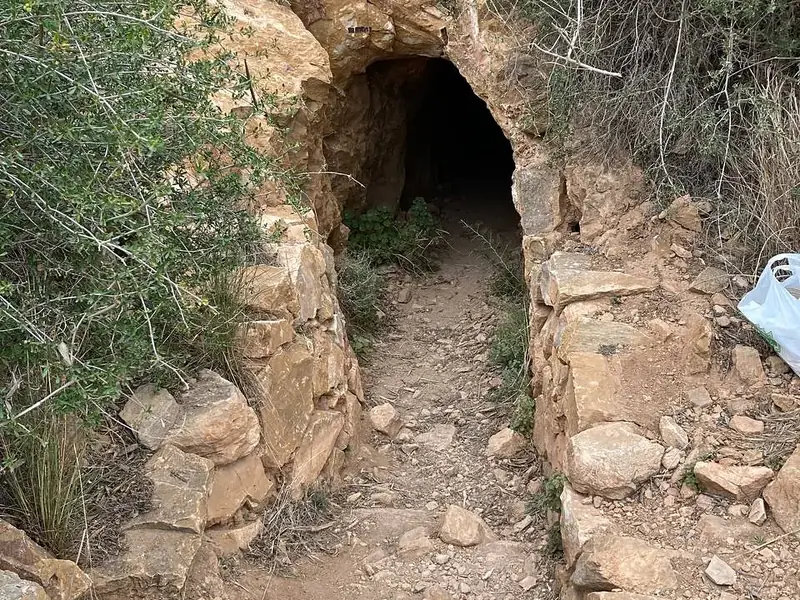 Sima de las PalomasSpain
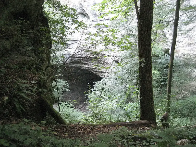 Pazinska jamaCroatia
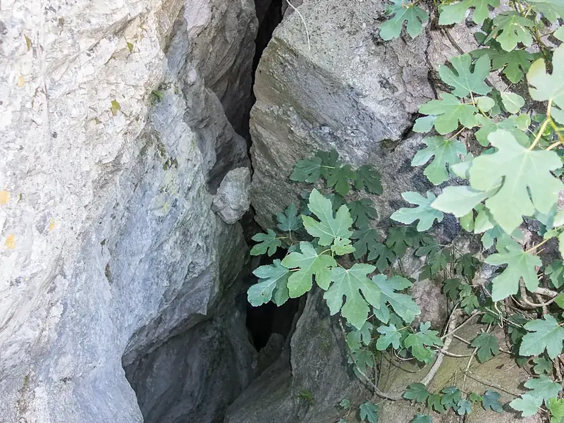 Cave of Caiada
 Greece
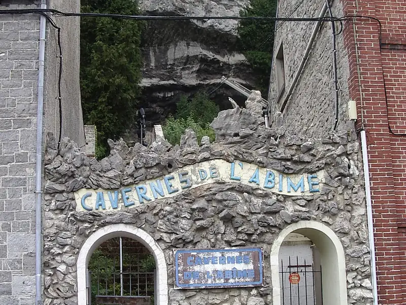 Trou de l’Abîme
 Belgium
 Gouffre MiroldaFrance
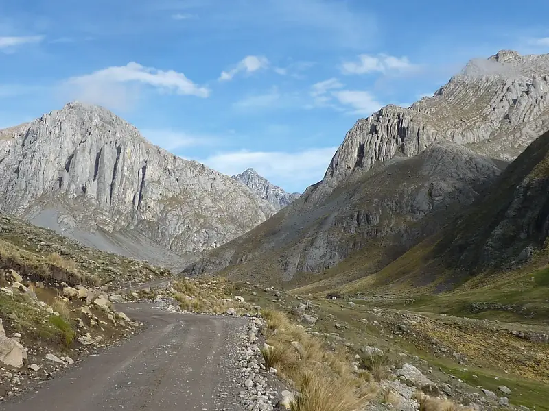 Sima Pumacocha
 Peru
Peru Vrtare MaleCroatia
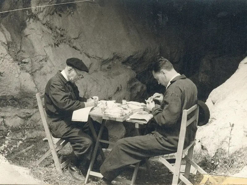 345 mLezetxikiSpain
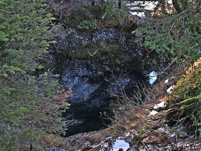 96 mHöllochGermany11 km
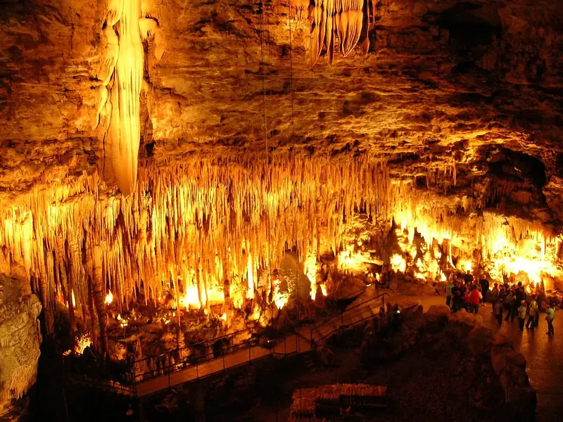 Gouffre de ProumeyssacFrance
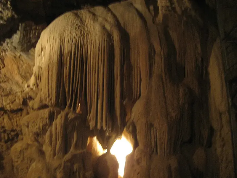 275 mLokvarka CaveCroatia1.2 km
 377 mRaychova dupka
 Bulgaria1.5 km
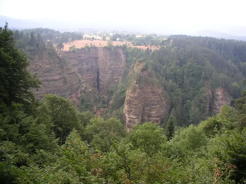 Bramabiau AbyssFrance
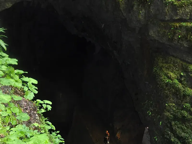 Pivka JamaSlovenia
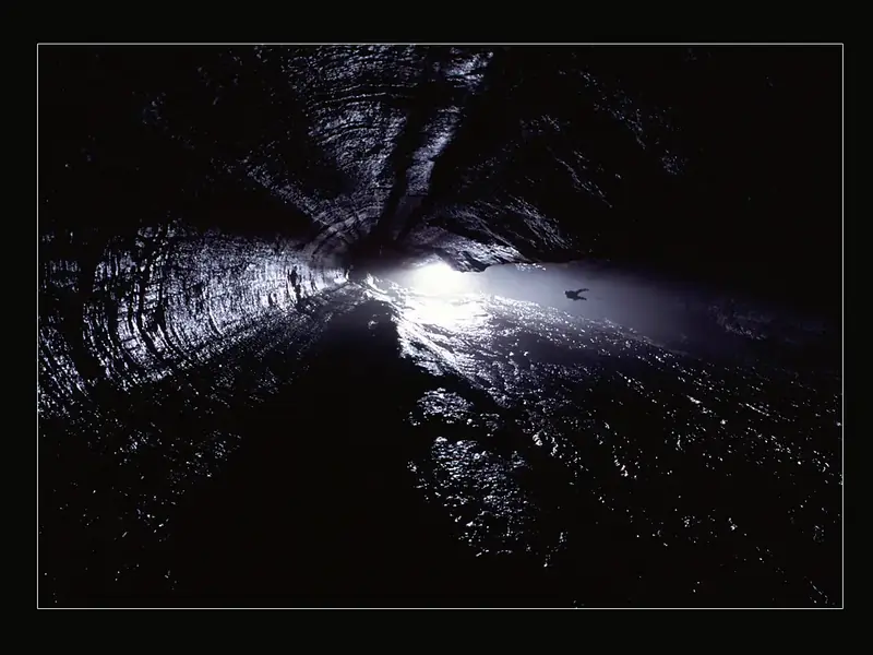 Spluga della PretaItaly
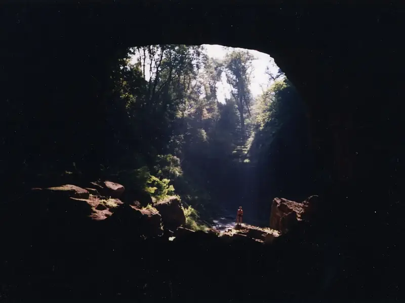 Cave of ReveillonFrance
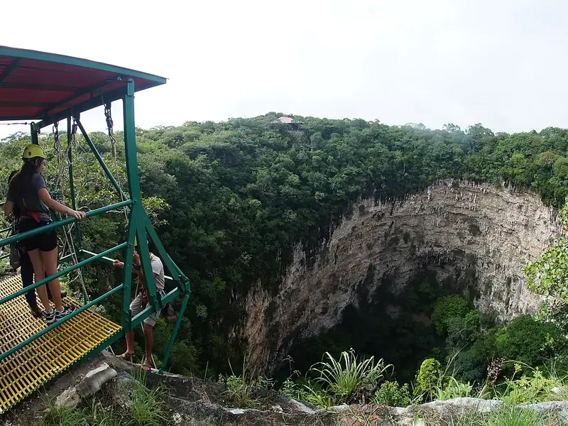 Sima de las cotorrasMexico
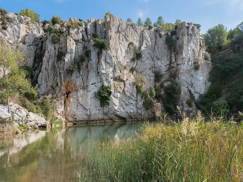 Gouffre de l'Œil DouxFrance
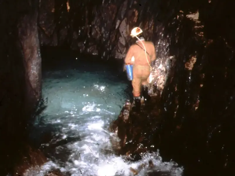 Sistema del TraveSpain
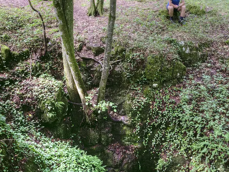 Diviačia priepasť
 SlovakiaWorld Heritage
 Sima Humboldt
 Venezuela
 Abisso BonettiItaly
 279 mDağlı Kuylucu Cave
 Turkey0.5 km
 Slovačka jamaCroatia5.7 km
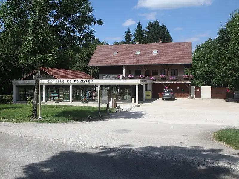 Gouffre de PoudreyFrance
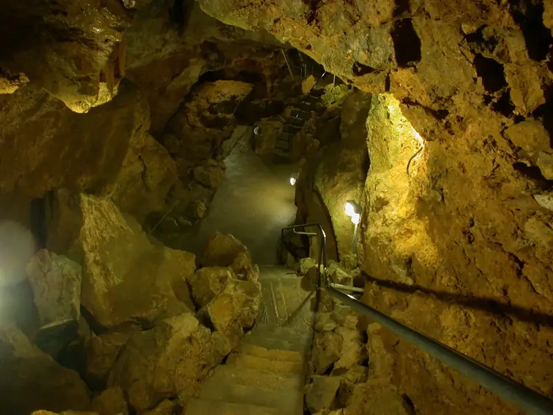 Laichinger TiefenhöhleGermany
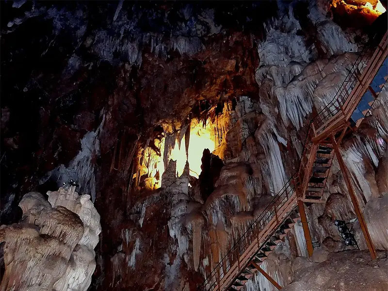 Aven MarzalFrance
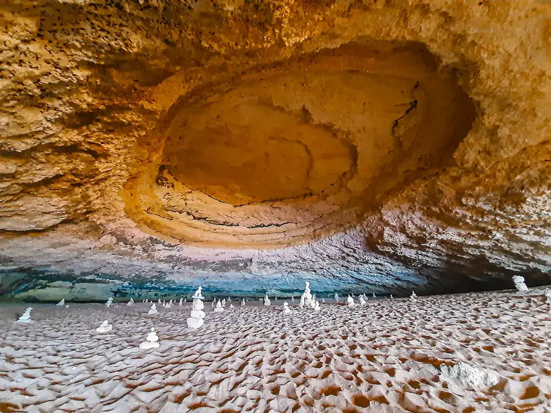 Algar de Benagil
 Portugal
A cave enters a type from Wikidata, its name, OpenStreetMap, the river at its mouth and the sister atlases. Some may be missing; none is invented.
The family
Do you prefer beaches, lakes, mountains, waterfalls, islands, rivers, canyons, caves, dark skies, viewpoints, birdwatching or forests?
Same idea, other landscapes: field atlases built on open data, month by month, in seven languages.
 beaches
 Find your beach: sea temperature, sun and swimming month by month.Visit
  lakes
lakes Every lake on Earth: water temperature, ice, depth and the shore.Visit
  mountains
 Every summit in 3D: summit weather, the 0 °C line, huts and trails.Visit
  waterfalls
 Every waterfall: height, flow month by month and when it roars.Visit
  islands
 Every island from the sea up: size, sea temperature, ferries and 3D.Visit
  rivers
 Every river from source to sea: the journey, the flow and the basin in numbers.Visit
  canyons
 Every canyon cut to scale: depth to the floor, rim and floor temperatures, trails and viewpoints.Visit
  caves
caves Every cave with its real depth and length: the rock above, the temperature inside all year, and how to visit.You are here
 dark skies
 Where the night is still dark: the sky of every place, the Milky Way month by month, the Moon, eclipses and auroras.Coming soonVisit
  viewpoints
 Every viewpoint with its real 360° panorama: the peaks you can name, how far you see and where the sun sets.Coming soonVisit
  birdwatching
 Every bird sanctuary and wetland with the species recorded month by month: who is resident, who comes for the summer, who only passes through.Coming soonVisit
  forests
 Every forest with its land-cover rings, what grows and lives in it, and the best months to walk it.Coming soonVisit